
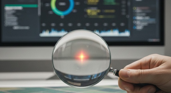
There’s something strangely comforting about looking at things from far away. Maybe it’s because, from a distance, the chaos of daily work starts to make a bit more sense. That’s kind of what remote sensing feels like for a lot of companies right now. Not the sci-fi version with satellites zooming around and complicated maps, but the simple idea of being able to see what’s going on without having to physically be there. And remote sensing consulting, which is basically the practice of helping companies make sense of all that imagery, has turned into one of those quietly transformative tools. The kind you don’t notice at first, but later you wonder how you ever made decisions without it.
When people hear “remote sensing,” they picture a satellite photo and think that’s the whole story. But a raw picture doesn’t tell you much. You might see a field, or a coastline, or a construction site, but it’s just colors unless someone who understands the patterns explains what’s really happening. Remote sensing consultants do that translation work. They look at pixels, shapes, shadows, heat signatures, moisture levels, and turn that into something you can actually use. And when the goal is making fast decisions, this translation is everything. Read more about customized AI solutions.
The Operational Advantage: Speed and Early Warning
One of the biggest advantages is speed. Before this kind of tech was widely available, companies spent days or even weeks sending people out to check what was happening. If you ran agricultural operations, you waited for reports from the field. If you were managing pipelines, you waited for inspection teams. Now you can open a dashboard and see the latest satellite pass or drone scan. You can spot a problem before someone even calls it in. You can change your plans before the issue becomes expensive or dangerous. Decisions that used to drag now happen almost instantly.
And there’s something else people don’t always mention. Satellites see things long before human eyes do. A crop can look fine from the ground, but from above you might notice subtle color changes that signal stress. A coastline might look stable when you walk on it, but the satellite can show it’s shifting slowly every week. A mine might seem to be operating normally, but thermal readings can reveal a hotspot that hints at structural risk. Consultants take all these strange signals and turn them into early warnings. It’s a bit like having a friend who notices things before you do.
Reducing Uncertainty and Blind Spots
The other big part of remote sensing consulting is reducing uncertainty. Every business has blind spots, no matter how well organized it is. Maybe a part of your land is too remote to check often. Maybe weather makes inspections impossible. Maybe you don’t fully trust the report you got last week. Remote sensing cuts through that. It doesn’t matter if the location is hard to reach or if you only have one staff member on site. Satellites don’t get tired or stuck in traffic. They just pass over, collect data, and give you a consistent view. And having that view makes you feel a little more grounded when making decisions.
The Custom Advantage: Matching Tool to Problem
This field also works because it isn’t cookie-cutter. Every company needs something different. A farmer wants to know how stressed the crops are. A city planner wants to track urban expansion. An energy company wants to detect leaks. A shipping company wants to check congestion before rerouting routes. Consultants know which type of sensor sees what: infrared for heat, radar for structure, optical for general observation, hyperspectral for chemical hints. The trick is matching the right tool to the right problem, because using the wrong satellite is like trying to read a book with sunglasses on.
Satellites don’t get tired or stuck in traffic. They just pass over, collect data, and give you a consistent view. And having that view makes you feel a little more grounded when making decisions.
People sometimes think this stuff is too expensive or too “NASA-like,” but it’s becoming surprisingly accessible. You don’t need to buy your own satellite. You don’t need to operate your own drones. And you don’t need huge tech teams. A consultant can look at your problem and tell you exactly what data you need, how often you need it, and what can be ignored. In a way, they save you from drowning in information. They help you focus on what actually matters instead of buying fancy layers you won’t use.